 Posted by
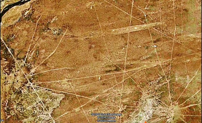
Less famous than the Nazca Lines, but fifteen times larger. The Sajama Lines, on the high plateau of western Bolivia, are one of South America’s greatest and least-known archaeological mysteries. Thousands, perhaps tens of thousands, of almost perfectly straight paths criss-cross in a web covering more than 22,500 square kilometres around Nevado Sajama, the extinct volcano that at 6,542 metres is Bolivia’s highest mountain.
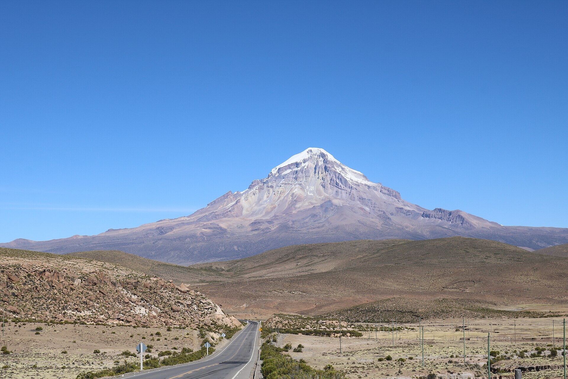
The Sajama Lines are a network of thousands of straight paths etched by indigenous people around the Sajama volcano, in Bolivia, over more than 3,000 years. They cover about 22,500 km², with an estimated total length of 16,000 km. They were probably sacred pilgrimage routes, but their exact purpose remains unknown.
A web across the plateau
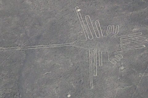
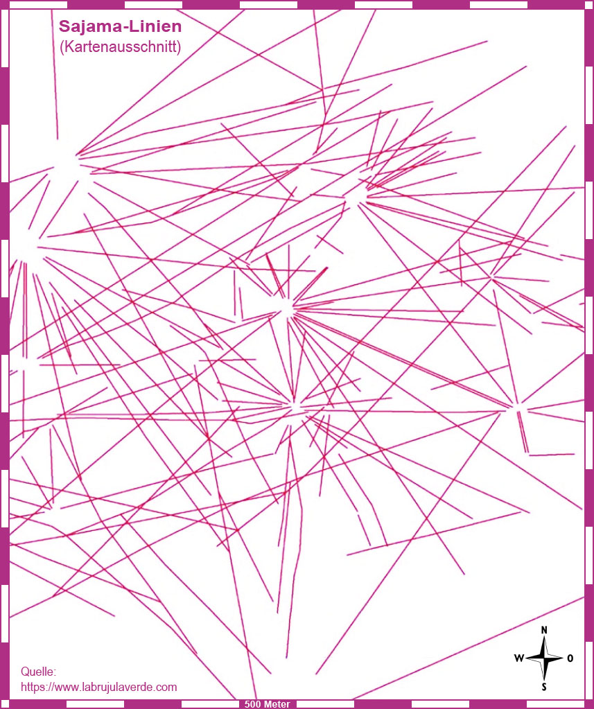
Unlike the famous Nazca geoglyphs, some of which depict animals, these lines form no figures: they are a dense network of straight tracks. By estimates, laid end to end they would stretch about 16,000 kilometres, roughly three times the breadth of the United States. That is why they are considered the largest archaeological site in the Andes, and some call them the largest artwork in the world.
They were made by scraping aside the vegetation and the dark surface layer of soil and oxidised rock to expose the lighter ground beneath. Many lines run for ten or twenty kilometres, perhaps more, yet stay remarkably straight despite rugged terrain and natural obstacles. From the ground it is hard to grasp their extent, but from the air, or from a hilltop, the sight is stunning.
Who made them and why
The lines were etched continuously for more than 3,000 years by the indigenous people living around the volcano. As with Nazca, however, neither their purpose nor how their makers achieved such precision has been fully explained.
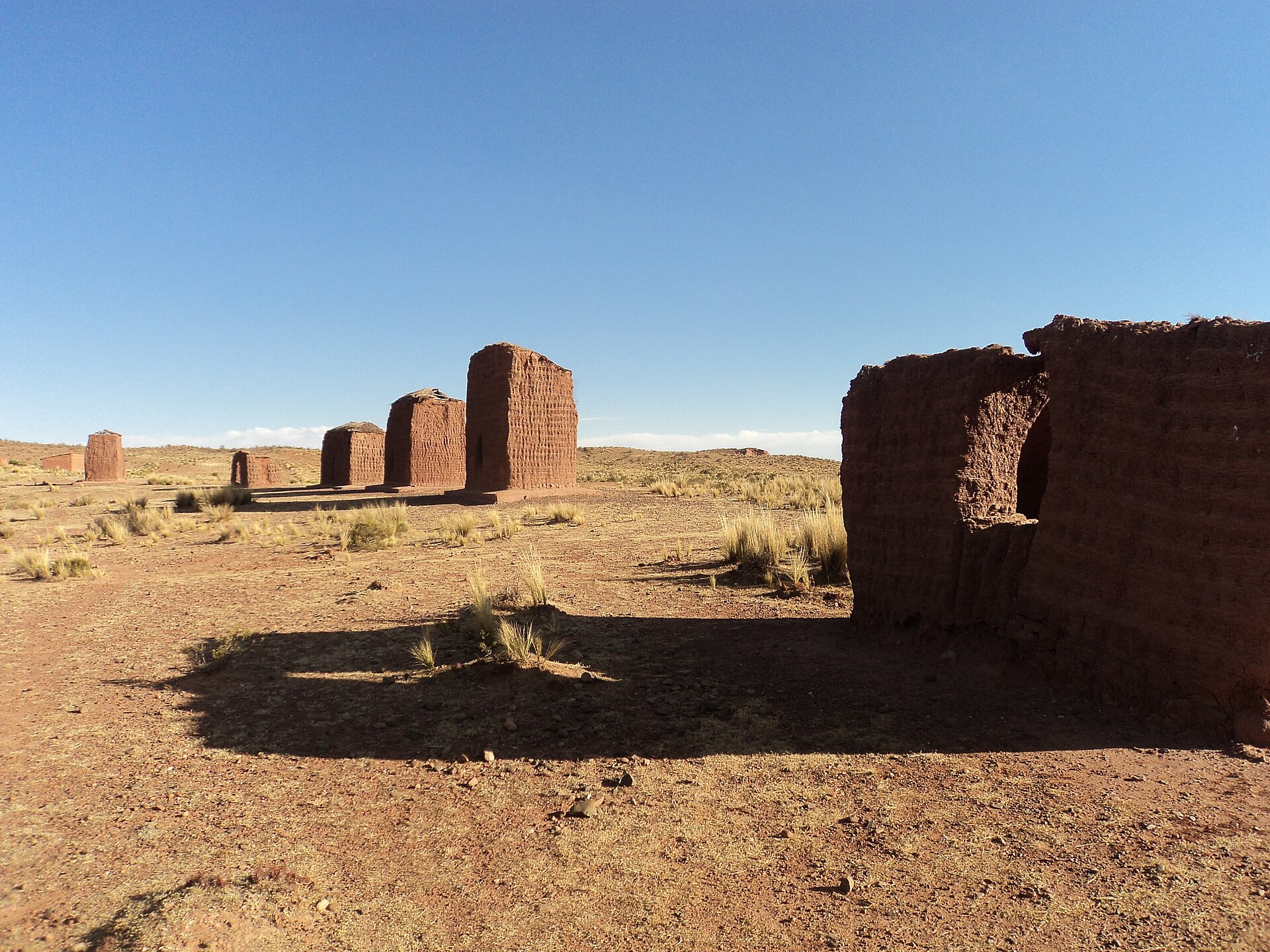
The most common hypothesis is that they were used for sacred pilgrimages. Along the network, right where lines meet, there are wak’as, small shrines, chullpas, the burial towers typical of the Andes, and hamlets. A sacred landscape, in other words, where paths link the places of the living and those of the dead. The region is sparsely populated today, but some lines are still used as ordinary footpaths.
Discovery and study
The first mention of the Sajama Lines in English comes from a traveller, Aimé Felix Tschiffely, in 1932. In the same decade anthropologist Alfred Métraux brought them to scholars’ attention, publishing his fieldwork on the Aymara and Chipaya peoples of the Carangas region. In the 1970s British writer and filmmaker Tony Morrison reported on them again.
More recently the Landmarks Foundation, together with the University of Pennsylvania, launched the “Tierra Sajama” project. Using geographic information systems and other digital tools, researchers built a database of maps, vegetation and topography, studied possible alignments between the lines and mountaintop shrines, and proposed strategies to protect the site.
A fragile heritage
The lines are threatened by erosion, vandalism, development projects and unchecked tourism, not least because there is no proper management plan for the site. According to the project’s participants, with good protection the lines could benefit both visitors from all over the world and local communities.
What strikes me is the idea that generation after generation of people, for three thousand years, kept walking and tracing these straight paths towards the sacred mountains. They were not built to impress anyone from above, but to be walked, step by step.
🦋 Emadion lives through its readers. If this story kept you up at night, buy me a coffee: it helps me bring you the next nightmare.
☕ Support Emadion on Ko-fi